Planning a Trip to Cody, Wyoming: How Many Days You Need and Which Drives to Choose
Published
- Base elevation
- 5,016 ft
- Big drives
- Two
- Minimum stay
- 2 days
- Evening fixture
- Rodeo
Cody rewards planning more than most small towns, because almost everything worth doing is a drive and the drives are slower than they look. What follows is the arithmetic, and then a tool to do it for you.
The one rule everything follows from
One big drive per day. West to the Yellowstone East Entrance and north over Dead Indian Pass into Sunlight Basin are separate days that share only a starting point. Each is a half day at absolute minimum and a full day if you stop properly, which is the entire point of driving them.
Folding both into a single day is the most common mistake made here. You spend the day behind the wheel, see neither road properly, and drive the second half of the second one in failing light on switchbacks with a long drop and no barrier.
What fits in how many days
One day. You are choosing, not fitting. Either the Buffalo Bill Center of the West and the town, or one drive. Not both. If you are passing through toward Yellowstone, take the North Fork road and let it be the day.
Two days. The comfortable minimum. One day for the museum complex, Old Trail Town and the dam; one for a mountain road. The rodeo takes an evening at no cost to either.
Three days. Both mountain roads get their own day, and the third absorbs the town. This is the version where nothing is rushed.
Four or more. Now the valleys open up: fishing the North Fork, walking in the Shoshone Forest, a river trip, driving out to the reservoir without an agenda. Cody stops being a base and becomes somewhere you are staying.
Build an outline
The planner below takes the number of days and what you actually care about, and lays out which destinations fit which day, with the driving each one costs. Underneath it is the full table: every destination within reach of Cody, with distance, honest drive time and elevation.
The table is the useful part even if you ignore the planner. Those numbers are what decides a day, and they are the numbers most itineraries get wrong.
Why the drive times look slow
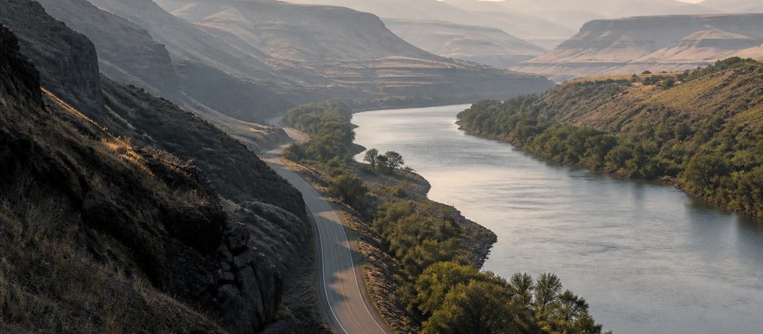
Because they are. The road west follows a river valley with a valley-road speed limit, elk and deer on the verges at dawn and dusk, and enough rock formation in the upper section that most people stop at least twice. The road north climbs switchbacks to a pass at just over eight thousand feet.
Neither can be hurried, and both are worse when hurried. The estimates here assume you are driving them the way they are meant to be driven, which is the only way that makes sense of having come.
What is deliberately not here
No opening hours, no prices and no schedules. Those change every season, and a guide that prints them is confidently wrong within a year. Distances, drive times and elevations do not change, which is why the planning here is built entirely on them.
Confirm current times and rates with the places themselves. Everything else on this page will still be true next year.
Where to base yourself
The other planning decision is where you sleep, and it changes the arithmetic above. A room in the center of town puts the museum complex, dinner and the rodeo grounds within a few minutes of each other, which suits an itinerary built around the town with drives added.
Staying up the North Fork reverses it. You are half an hour from the Yellowstone gate instead of an hour and a quarter, which makes an early start into the park realistic, but every restaurant and the rodeo are back down the valley, so evenings happen where you are staying. That is either the entire appeal or a serious inconvenience, depending on the trip.
Campgrounds follow the same logic. Sites in town are convenient and ordinary; forest sites up the valley are better placed for the park and considerably colder at night.
Season
Nothing above holds year-round. The Yellowstone East Entrance road and the high sections of the Chief Joseph Byway both close with snow, and both reopen on the weather’s schedule instead of a published date. The rodeo is a summer fixture. The museum complex is the only item on this page that is indifferent to the calendar, which is another reason to keep it as the flexible day.
- 1Codythe center of everything · 5,016 ft
- 2Shoshone Canyon3 mi west · ~5 min
- 3Buffalo Bill Dam6 mi west · ~15 min
- 4Wapiti Valley18 mi west · ~25 min
- 5Pahaska Tepee50 mi west · ~1 h
- 6Yellowstone E. Entrance52 mi west · ~1 h 10 · 6,951 ft
- 7Dead Indian Passabout 30 mi north · ~55 min · 8,071 ft
- 8Sunlight Basinabout 35 mi north · ~1 h
- 9Beartooth Passbeyond the byway, on US-212 · 10,947 ft
- 10Powell24 mi north-east · ~30 min
- 11Meeteetse32 mi south-east · ~30 min
- paved main road
- the scenic byway
- shut by snow in winter
- the way out of the mountains
| Destination | Miles | Drive | Elevation | Time needed |
|---|---|---|---|---|
| Buffalo Bill Center of the WestFive museums. Half a day is the minimum and a full day is easy. | 1 | 5 min | 5,016 ft | In town |
| Old Trail TownOriginal frontier buildings moved and reassembled. About an hour. | 2 | 6 min | 5,016 ft | In town |
| Cody Nite Rodeo, Stampede ParkRuns nightly through the summer. Takes the evening, competes with nothing. | 2 | 6 min | 5,016 ft | Evening |
| Shoshone River tripsHalf a day on the water, close to town. | 5 | 12 min | 5,200 ft | Half day |
| Buffalo Bill Dam and canyonTwenty minutes for the viewing platforms, an hour for the visitor center. | 6 | 15 min | 5,370 ft | Half day |
| Fishing the ShoshoneRiver below the dam, the reservoir, or the North Fork above it. | 8 | 18 min | 5,300 ft | Half day |
| Wapiti Valley and the North ForkVolcanic rock formations along the river. The valley is the attraction. | 18 | 30 min | 5,600 ft | Half day |
| Trails in Shoshone National ForestElk Fork is the standard forest trailhead. Bear country. | 29 | 45 min | 6,000 ft | Full day |
| Chief Joseph Byway and Dead Indian PassSwitchbacks to the pass, then down into Sunlight Basin. Seasonal. | 30 | 55 min | 8,071 ft | Full day |
| Sunlight Basin and the highest bridge in WyomingBeyond the pass. Combines with the byway as one long day. | 46 | 80 min | 6,600 ft | Full day |
| Yellowstone East EntranceThe gate is not the destination — Sylvan Pass and the lake are beyond it. | 52 | 78 min | 6,951 ft | Full day |
Common questions
How many days do you need in Cody, Wyoming?
Two fills comfortably: one for the museum complex and the town, one for a mountain drive. Three is easy to justify if you want both the Yellowstone road and the Chief Joseph Byway properly. One day forces a choice between the Buffalo Bill Center of the West and a valley.
Can you do Yellowstone as a day trip from Cody?
Yes, but count the return. It is 52 miles each way to the East Entrance on a road that takes well over an hour, and the gate is not the destination. Sylvan Pass and Yellowstone Lake are a substantial further drive inside the park. It makes for a long day.
Which drive should you do if you only have one?
If you are continuing into Yellowstone, the North Fork road through Wapiti Valley, because you are driving it anyway. If you are not going into the park, the Chief Joseph Scenic Byway over Dead Indian Pass is the better road.
Is Cody worth more than one night?
It works as a base, not a stop. The museum complex alone absorbs the better part of a day, the rodeo takes an evening, and each of the two mountain roads is a half to full day on its own.
What is the biggest planning mistake visitors make?
Underestimating the roads. The fifty-two miles to the park gate take well over an hour, and the two mountain drives get folded into one day that ends after dark. Plan one big drive per day and the rest follows.